
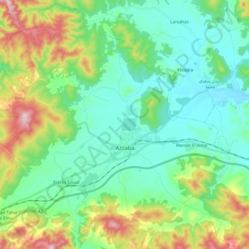
Azzaba ⵄⴻⵣⵣⴰⴱⴰ عزابة topographic map
Interactive map
Click on the map to display elevation.
About this map
Name: Azzaba ⵄⴻⵣⵣⴰⴱⴰ عزابة topographic map, elevation, terrain.
Location: Azzaba ⵄⴻⵣⵣⴰⴱⴰ عزابة, Daïra Azzaba, Provincia de Skikda, Argelia (36.67740 6.99444 36.82875 7.18840)
Average elevation: 174 m
Minimum elevation: 44 m
Maximum elevation: 525 m