
Sexbierum topographic map
Interactive map
Click on the map to display elevation.
About this map
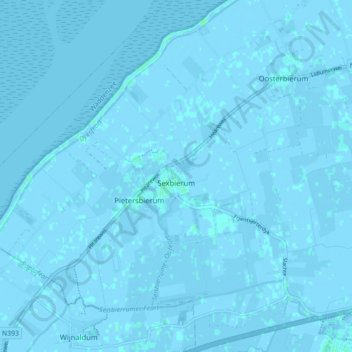
Name: Sexbierum topographic map, elevation, terrain.
Location: Sexbierum, Waadhoeke, Friesland, Niederlande (53.19299 5.45493 53.24588 5.52354)
Average elevation: 0 m
Minimum elevation: -4 m
Maximum elevation: 4 m
Other topographic maps
Click on a map to view its topography, its elevation and its terrain.
IJsselmeer
Niederlande > Friesland > De Fryske Marren
IJsselmeer, Mirns, De Fryske Marren, Friesland, Niederlande
Average elevation: -1 m