
Ciastralet topographic map
Interactive map
Click on the map to display elevation.
About this map
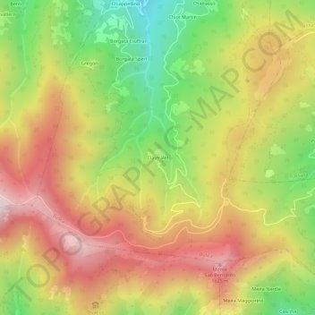
Name: Ciastralet topographic map, elevation, terrain.
Location: Ciastralet, Busca, Cuneo, Piemonte, Italia (44.50111 7.32509 44.54111 7.36509)
Average elevation: 1,261 m
Minimum elevation: 777 m
Maximum elevation: 1,715 m