
Biwong-Bané topographic map
Interactive map
Click on the map to display elevation.
About this map
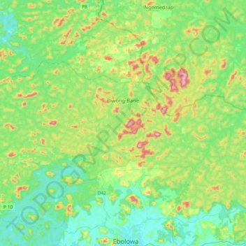
Name: Biwong-Bané topographic map, elevation, terrain.
Location: Biwong-Bané, Mvila, Cameroun (3.00150 10.91323 3.18582 11.27668)
Average elevation: 700 m
Minimum elevation: 567 m
Maximum elevation: 1,061 m