
Hueston Woods State Park topographic map
Interactive map
Click on the map to display elevation.
About this map
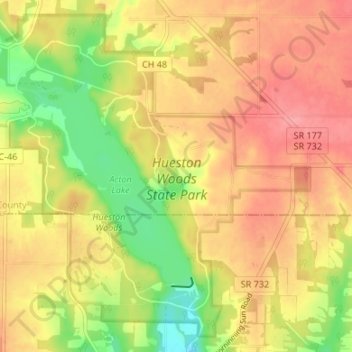
Name: Hueston Woods State Park topographic map, elevation, terrain.
Average elevation: 296 m
Minimum elevation: 247 m
Maximum elevation: 331 m