
Thank you for supporting this site ❤️
Make a donation
Make a donation
Jaynagar Majilpur topographic map
Click on the map to display elevation.
Thank you for supporting this site ❤️
Make a donation
Make a donation
Jaynagar Majilpur
Jaynagar Majilpur is located at 22°10′31″N 88°25′12″E / 22.1751965°N 88.4200762°E / 22.1751965; 88.4200762. It has an average elevation of 8 metres (26 ft).
Thank you for supporting this site ❤️
Make a donation
Make a donation
About this map
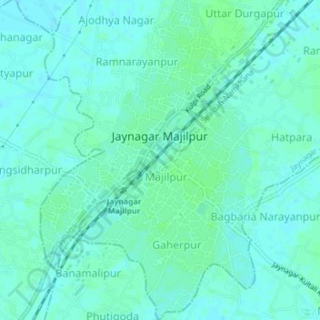
Name: Jaynagar Majilpur topographic map, elevation, terrain.
Average elevation: 5 m
Minimum elevation: 2 m
Maximum elevation: 9 m
Thank you for supporting this site ❤️
Make a donation
Make a donation