
Thank you for supporting this site ❤️
Make a donation
Make a donation
Waldberg topographic map
Click on the map to display elevation.
Thank you for supporting this site ❤️
Make a donation
Make a donation
About this map
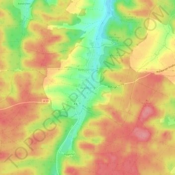
Name: Waldberg topographic map, elevation, terrain.
Location: Waldberg, Bobingen, Landkreis Augsburg, Bayern, Deutschland (48.23018 10.67556 48.27018 10.71556)
Average elevation: 570 m
Minimum elevation: 515 m
Maximum elevation: 606 m
Thank you for supporting this site ❤️
Make a donation
Make a donation
Other topographic maps
Click on a map to view its topography, its elevation and its terrain.