
Thank you for supporting this site ❤️
Make a donation
Make a donation
Dorr topographic map
Click on the map to display elevation.
Thank you for supporting this site ❤️
Make a donation
Make a donation
About this map
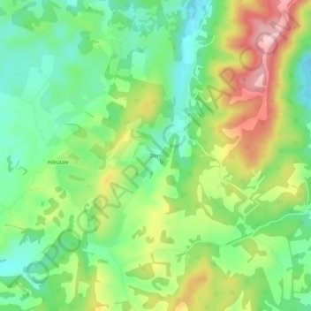
Name: Dorr topographic map, elevation, terrain.
Location: Dorr, Monroe County, West Virginia, 24976, United States (37.59957 -80.49396 37.63957 -80.45396)
Average elevation: 723 m
Minimum elevation: 639 m
Maximum elevation: 854 m
Thank you for supporting this site ❤️
Make a donation
Make a donation
Other topographic maps
Click on a map to view its topography, its elevation and its terrain.