
Longmay topographic map
Interactive map
Click on the map to display elevation.
About this map
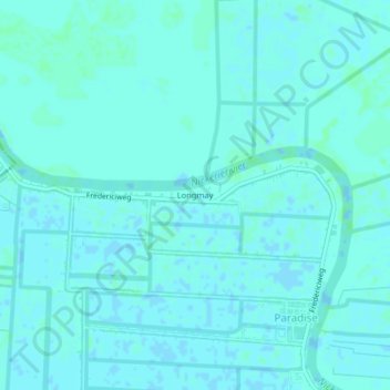
Name: Longmay topographic map, elevation, terrain.
Location: Longmay, Paradise, Oostelijke Polders, Nickerie, Suriname (5.90423 -56.95866 5.94423 -56.91866)
Average elevation: 2 m
Minimum elevation: -1 m
Maximum elevation: 4 m