
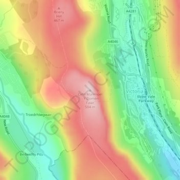
Cefn Manmoel - Y Domen Fawr topographic map
Interactive map
Click on the map to display elevation.
About this map
Name: Cefn Manmoel - Y Domen Fawr topographic map, elevation, terrain.
Average elevation: 346 m
Minimum elevation: 210 m
Maximum elevation: 499 m