
Tarimbecken topographic map
Interactive map
Click on the map to display elevation.
About this map
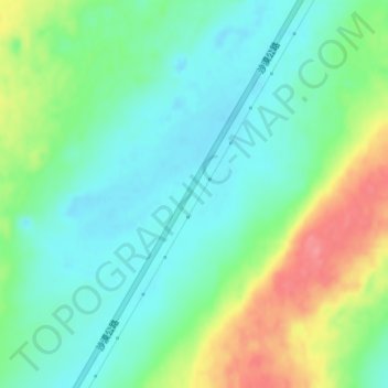
Name: Tarimbecken topographic map, elevation, terrain.
Location: Tarimbecken, 塔中镇, 且末县, 巴音郭楞蒙古自治州, Xinjiang, China (39.52728 83.95401 39.52738 83.95411)
Average elevation: 1,055 m
Minimum elevation: 1,028 m
Maximum elevation: 1,109 m
Die abflusslose Großlandschaft, die in West-Ost-Richtung etwa 1.500 km lang und in Nord-Süd-Richtung rund 600 km breit ist, befindet sich im Uigurischen Autonomen Gebiet Xinjiang zwischen 780 m Höhe (am ehemaligen Salzsee Lop Nor) im Osten und 1410 m (bei Hotan) im Süden.