
Lenox topographic map
Interactive map
Click on the map to display elevation.
About this map
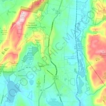
Name: Lenox topographic map, elevation, terrain.
Average elevation: 382 m
Minimum elevation: 276 m
Maximum elevation: 638 m
Other topographic maps
Click on a map to view its topography, its elevation and its terrain.
Siara Street Field
Estados Unidos da América > Massachusetts > Berkshire County > Adams
Siara Street Field, Adams, Berkshire County, Massachusetts, Estados Unidos da América
Average elevation: 293 m