
Thank you for supporting this site ❤️
Make a donation
Make a donation
Kerobokan topographic map
Click on the map to display elevation.
Thank you for supporting this site ❤️
Make a donation
Make a donation
About this map
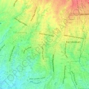
Name: Kerobokan topographic map, elevation, terrain.
Location: Kerobokan, Badung, Bali, 08361, Indonésie (-8.67061 115.14315 -8.63061 115.18315)
Average elevation: 31 m
Minimum elevation: 2 m
Maximum elevation: 64 m
Thank you for supporting this site ❤️
Make a donation
Make a donation