
Altschwendt topographic map
Interactive map
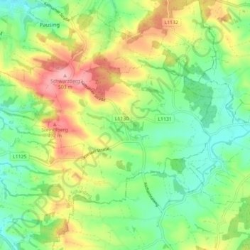
Click on the map to display elevation.
About this map
Name: Altschwendt topographic map, elevation, terrain.
Average elevation: 423 m
Minimum elevation: 373 m
Maximum elevation: 499 m
Altschwendt liegt auf 432 m Höhe im Innviertel. Die Ausdehnung beträgt von Nord nach Süd 6,5 km, von West nach Ost 4 km. Die Gesamtfläche beträgt 12,7 km². 12,6 % der Fläche sind bewaldet, 79,5 % der Fläche sind landwirtschaftlich genutzt.