
Misool Archipelago topographic map
Interactive map
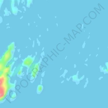
Click on the map to display elevation.
About this map
Name: Misool Archipelago topographic map, elevation, terrain.
Average elevation: 3 m
Minimum elevation: -2 m
Maximum elevation: 98 m
Other topographic maps
Click on a map to view its topography, its elevation and its terrain.
Pulau Waigeo
Indonesia > Southwest Papua > Raja Ampat
The area of the island is 3,155 square kilometres (1,218 square miles); the highest elevations are 958-metre-high (3,143-foot) Buffalo Horn (Gunung Nok) and 939-metre-high (3,081-foot) Serodjil. From west to east, the island measures approximately 110 km (68 mi), north–south about 50 kilometres (31 miles).
Average elevation: 37 m