
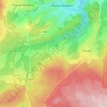
Reharmont topographic map
Interactive map
Click on the map to display elevation.
About this map
Name: Reharmont topographic map, elevation, terrain.
Location: Reharmont, Lierneux, Verviers, Luik, Wallonië, 4990, België (50.31992 5.80151 50.35992 5.84151)
Average elevation: 428 m
Minimum elevation: 302 m
Maximum elevation: 563 m