
Thank you for supporting this site ❤️
Make a donation
Make a donation
Start topographic map
Click on the map to display elevation.
Thank you for supporting this site ❤️
Make a donation
Make a donation
About this map
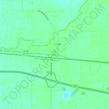
Name: Start topographic map, elevation, terrain.
Location: Start, Richland Parish, Louisiana, 71279, United States (32.46653 -91.87929 32.50653 -91.83929)
Average elevation: 23 m
Minimum elevation: 17 m
Maximum elevation: 26 m
Thank you for supporting this site ❤️
Make a donation
Make a donation
Other topographic maps
Click on a map to view its topography, its elevation and its terrain.
Delhi
United States > Louisiana > Richland Parish
The town's elevation of 89 ft (27 m) spared Delhi from the brunt of the Great Mississippi Flood of 1927 that destroyed most of the surrounding Mississippi River Delta area.
Average elevation: 28 m
Thank you for supporting this site ❤️
Make a donation
Make a donation