
Thank you for supporting this site ❤️
Make a donation
Make a donation
Dahmani topographic map
Click on the map to display elevation.
Thank you for supporting this site ❤️
Make a donation
Make a donation
About this map
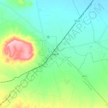
Name: Dahmani topographic map, elevation, terrain.
Location: Dahmani, Délégation Dahmani, Gouvernorat Le Kef, 7170, Tunisie (35.90244 8.78843 35.98244 8.86843)
Average elevation: 646 m
Minimum elevation: 585 m
Maximum elevation: 799 m
Thank you for supporting this site ❤️
Make a donation
Make a donation