
Bornem topographic map
Interactive map
Click on the map to display elevation.
About this map
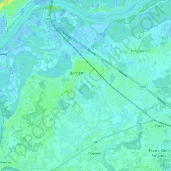
Name: Bornem topographic map, elevation, terrain.
Location: Bornem, Malines, Anvers, Flandre, 2880, Belgique (51.05988 4.18283 51.12168 4.27958)
Average elevation: 4 m
Minimum elevation: -4 m
Maximum elevation: 19 m