
Ozun topographic map
Interactive map
Click on the map to display elevation.
About this map
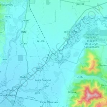
Name: Ozun topographic map, elevation, terrain.
Location: Ozun, Covasna, Roumanie (45.74200 25.81496 45.85952 25.95256)
Average elevation: 539 m
Minimum elevation: 501 m
Maximum elevation: 934 m
Other topographic maps
Click on a map to view its topography, its elevation and its terrain.