
Oud-Loosdrecht topographic map
Interactive map
Click on the map to display elevation.
About this map
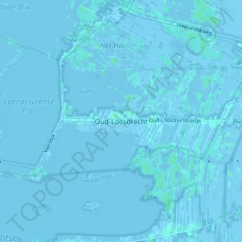
Name: Oud-Loosdrecht topographic map, elevation, terrain.
Location: Oud-Loosdrecht, Nordholland, Niederlande, 1231, Niederlande (52.18685 5.06721 52.22685 5.10721)
Average elevation: -1 m
Minimum elevation: -4 m
Maximum elevation: 3 m