
Wazir topographic map
Interactive map
Click on the map to display elevation.
About this map
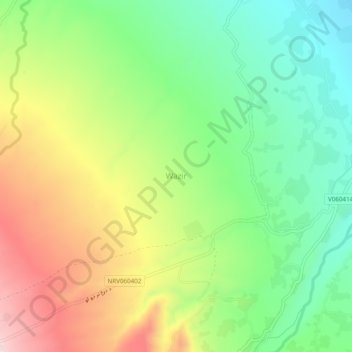
Name: Wazir topographic map, elevation, terrain.
Location: Wazir, خوگياڼي ولسوالۍ, Nangarhar, Afghanistan (34.18493 70.12670 34.22493 70.16670)
Average elevation: 1,482 m
Minimum elevation: 1,337 m
Maximum elevation: 1,689 m