
Barkholt topographic map
Interactive map
Click on the map to display elevation.
About this map
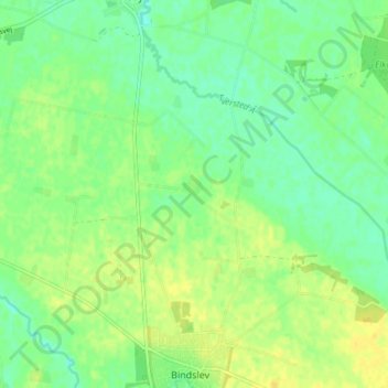
Name: Barkholt topographic map, elevation, terrain.
Location: Barkholt, Hjørring Kommune, Region Nordjütland, 9881, Dänemark (57.53969 10.17855 57.57969 10.21855)
Average elevation: 15 m
Minimum elevation: 5 m
Maximum elevation: 24 m
Other topographic maps
Click on a map to view its topography, its elevation and its terrain.
Skagen
Skagen, Frederikshavn Kommune, Region Nordjütland, 9990, Dänemark
Average elevation: 1 m
Nordjütische Insel
Nordjütische Insel, Brønderslev Kommune, Region Nordjütland, Dänemark
Average elevation: 9 m