
The Head topographic map
Click on the map to display elevation.
About this map
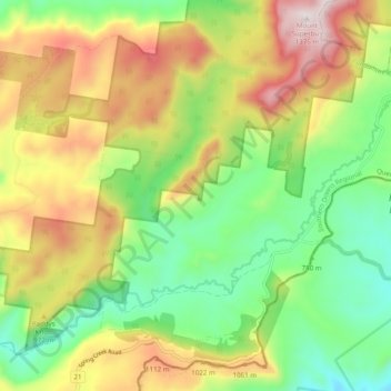
Name: The Head topographic map, elevation, terrain.
Location: The Head, Southern Downs Regional, Queensland, Australia (-28.29396 152.39490 -28.22823 152.49292)
Average elevation: 879 m
Minimum elevation: 538 m
Maximum elevation: 1,355 m
Other topographic maps
Click on a map to view its topography, its elevation and its terrain.