
Furfooz topographic map
Interactive map
Click on the map to display elevation.
About this map
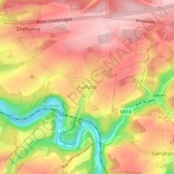
Name: Furfooz topographic map, elevation, terrain.
Location: Furfooz, Dinant, Namen, Wallonië, 5561, België (50.20341 4.93991 50.24341 4.97991)
Average elevation: 217 m
Minimum elevation: 97 m
Maximum elevation: 293 m