
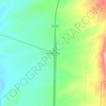
Hallelujah Junction topographic map
Interactive map
Click on the map to display elevation.
About this map
Name: Hallelujah Junction topographic map, elevation, terrain.
Location: Hallelujah Junction, Lassen County, California, USA (39.75538 -120.05968 39.79538 -120.01968)
Average elevation: 1,546 m
Minimum elevation: 1,465 m
Maximum elevation: 1,715 m