
Totness topographic map
Interactive map
Click on the map to display elevation.
About this map
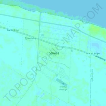
Name: Totness topographic map, elevation, terrain.
Location: Totness, Distrikt Coronie, Coronie, Suriname (5.85713 -56.35078 5.89713 -56.31078)
Average elevation: 3 m
Minimum elevation: -1 m
Maximum elevation: 9 m