
Thank you for supporting this site ❤️
Make a donation
Make a donation
Six Mile Bay topographic map
Click on the map to display elevation.
Thank you for supporting this site ❤️
Make a donation
Make a donation
About this map
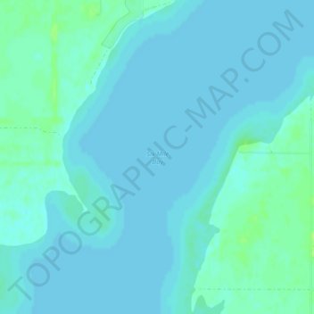
Name: Six Mile Bay topographic map, elevation, terrain.
Location: Six Mile Bay, Ramsey County, North Dakota, United States (48.10467 -99.02546 48.10477 -99.02536)
Average elevation: 442 m
Minimum elevation: 439 m
Maximum elevation: 449 m
Thank you for supporting this site ❤️
Make a donation
Make a donation
Other topographic maps
Click on a map to view its topography, its elevation and its terrain.
Devils Lake
United States > North Dakota > Ramsey County
The first post office was founded November 15, 1882, and was originally named Creelsburg. It was founded by Lieutenant Heber M. Creel, a West Point graduate and topographical engineer stationed at nearby Fort Totten. After resigning from the U.S. Army, he surveyed the land and established the townsite.
Average elevation: 443 m