
Thank you for supporting this site ❤️
Make a donation
Make a donation
Lac Long topographic map
Click on the map to display elevation.
Thank you for supporting this site ❤️
Make a donation
Make a donation
About this map
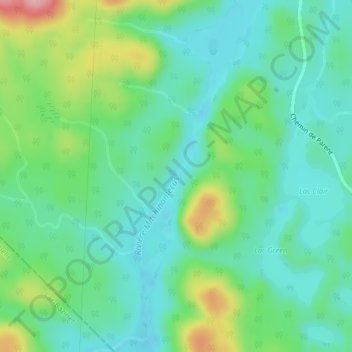
Name: Lac Long topographic map, elevation, terrain.
Location: Lac Long, Baie-Obaoca, Matawinie, Lanaudière, Quebec, Canada (47.65847 -74.70994 47.65857 -74.70984)
Average elevation: 463 m
Minimum elevation: 420 m
Maximum elevation: 574 m
Thank you for supporting this site ❤️
Make a donation
Make a donation