
Thank you for supporting this site ❤️
Make a donation
Make a donation
Gate 5 topographic map
Click on the map to display elevation.
Thank you for supporting this site ❤️
Make a donation
Make a donation
About this map
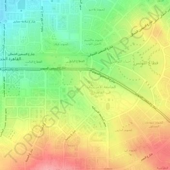
Name: Gate 5 topographic map, elevation, terrain.
Location: Gate 5, New Cairo City, Cairo, 11865, Egypt (30.00151 31.47683 30.04151 31.51683)
Average elevation: 317 m
Minimum elevation: 265 m
Maximum elevation: 370 m
Thank you for supporting this site ❤️
Make a donation
Make a donation