
Thank you for supporting this site ❤️
Make a donation
Make a donation
Altenberg topographic map
Click on the map to display elevation.
Thank you for supporting this site ❤️
Make a donation
Make a donation
About this map
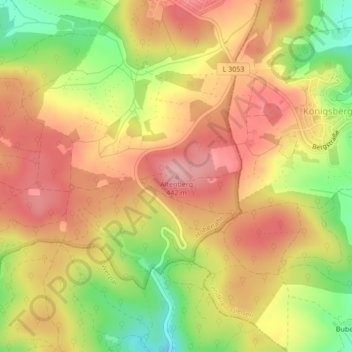
Name: Altenberg topographic map, elevation, terrain.
Location: Altenberg, Hohenahr, Lahn-Dill-Kreis, Hessen, 35585, Deutschland (50.63688 8.51707 50.63698 8.51717)
Average elevation: 366 m
Minimum elevation: 282 m
Maximum elevation: 424 m
Thank you for supporting this site ❤️
Make a donation
Make a donation
Other topographic maps
Click on a map to view its topography, its elevation and its terrain.