
Norden topographic map
Interactive map
Click on the map to display elevation.
About this map
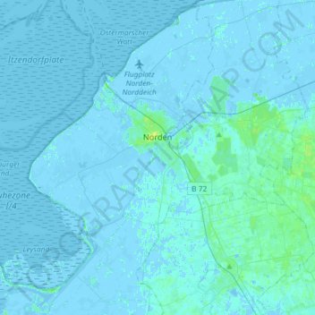
Name: Norden topographic map, elevation, terrain.
Location: Norden, Aurich (arrondissement), Basse-Saxe, 26506, Allemagne (53.49681 7.08696 53.66897 7.27620)
Average elevation: 1 m
Minimum elevation: -5 m
Maximum elevation: 9 m