
后车 topographic map
Interactive map
Click on the map to display elevation.
About this map
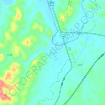
Name: 后车 topographic map, elevation, terrain.
Location: 后车, 左坊镇, Xian de Jinxi, Fuzhou, Jiangxi, Chine (27.71661 116.73810 27.75661 116.77810)
Average elevation: 90 m
Minimum elevation: 60 m
Maximum elevation: 189 m