
Thank you for supporting this site ❤️
Make a donation
Make a donation
Morenci topographic map
Click on the map to display elevation.
Thank you for supporting this site ❤️
Make a donation
Make a donation
About this map
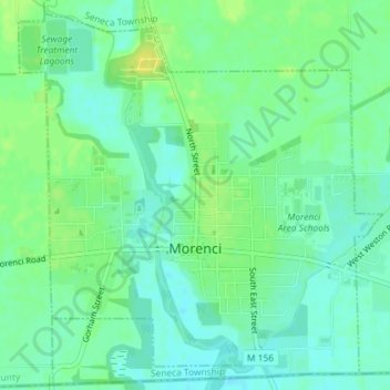
Name: Morenci topographic map, elevation, terrain.
Location: Morenci, Lenawee County, Michigan, United States (41.71065 -84.23384 41.73581 -84.19996)
Average elevation: 234 m
Minimum elevation: 225 m
Maximum elevation: 245 m
Thank you for supporting this site ❤️
Make a donation
Make a donation
Other topographic maps
Click on a map to view its topography, its elevation and its terrain.