
Thank you for supporting this site ❤️
Make a donation
Make a donation
Kileku topographic map
Click on the map to display elevation.
Thank you for supporting this site ❤️
Make a donation
Make a donation
About this map
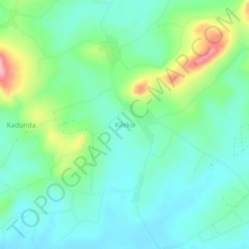
Name: Kileku topographic map, elevation, terrain.
Location: Kileku, Nakaseke, Central Region, Uganda (0.61333 32.23000 0.65333 32.27000)
Average elevation: 1,134 m
Minimum elevation: 1,092 m
Maximum elevation: 1,246 m
Thank you for supporting this site ❤️
Make a donation
Make a donation