
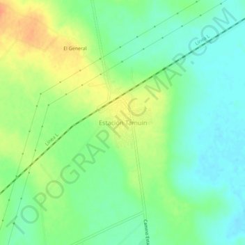
Estación Tamuín topographic map
Interactive map
Click on the map to display elevation.
About this map
Name: Estación Tamuín topographic map, elevation, terrain.
Location: Estación Tamuín, Tamuín, San Luis Potosi, Mexico (22.05518 -98.83178 22.09518 -98.79178)
Average elevation: 35 m
Minimum elevation: 18 m
Maximum elevation: 59 m