
Thank you for supporting this site ❤️
Make a donation
Make a donation
El Cacahuano topographic map
Click on the map to display elevation.
Thank you for supporting this site ❤️
Make a donation
Make a donation
About this map
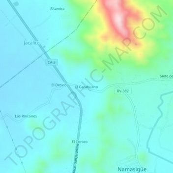
Name: El Cacahuano topographic map, elevation, terrain.
Location: El Cacahuano, Namasigüe, Choluteca, Honduras (13.20514 -87.17305 13.24514 -87.13305)
Average elevation: 95 m
Minimum elevation: 23 m
Maximum elevation: 433 m
Thank you for supporting this site ❤️
Make a donation
Make a donation