
Crossans Corner topographic map
Interactive map
Click on the map to display elevation.
About this map
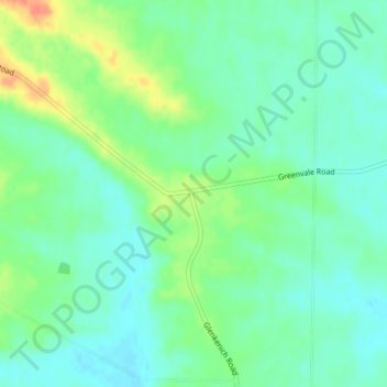
Name: Crossans Corner topographic map, elevation, terrain.
Location: Crossans Corner, Clutha District, Otago, Nouvelle-Zélande (-45.92190 169.14313 -45.90190 169.16313)
Average elevation: 164 m
Minimum elevation: 149 m
Maximum elevation: 194 m