
Thank you for supporting this site ❤️
Make a donation
Make a donation
Coriconi topographic map
Click on the map to display elevation.
Thank you for supporting this site ❤️
Make a donation
Make a donation
About this map
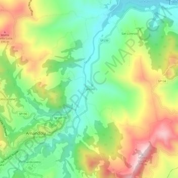
Name: Coriconi topographic map, elevation, terrain.
Location: Coriconi, Amandola, Fermo, Marche, 63857, Italy (42.96990 13.35245 43.00990 13.39245)
Average elevation: 505 m
Minimum elevation: 338 m
Maximum elevation: 752 m
Thank you for supporting this site ❤️
Make a donation
Make a donation