
Thank you for supporting this site ❤️
Make a donation
Make a donation
Eging topographic map
Click on the map to display elevation.
Thank you for supporting this site ❤️
Make a donation
Make a donation
About this map
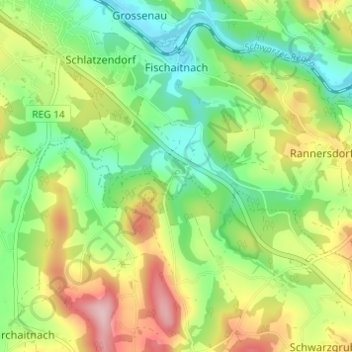
Name: Eging topographic map, elevation, terrain.
Location: Eging, Viechtach, Landkreis Regen, Bayern, 94234, Deutschland (49.03417 12.89343 49.07417 12.93343)
Average elevation: 489 m
Minimum elevation: 405 m
Maximum elevation: 618 m
Thank you for supporting this site ❤️
Make a donation
Make a donation