
Hull topographic map
Interactive map
Click on the map to display elevation.
About this map
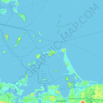
Name: Hull topographic map, elevation, terrain.
Location: Hull, Plymouth County, Massachusetts, 02045, USA (42.25858 -70.96048 42.33508 -70.77918)
Average elevation: 4 m
Minimum elevation: -5 m
Maximum elevation: 60 m