
Charlottetown topographic map
Interactive map
Click on the map to display elevation.
About this map
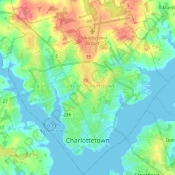
Name: Charlottetown topographic map, elevation, terrain.
Average elevation: 19 m
Minimum elevation: -2 m
Maximum elevation: 65 m
Other topographic maps
Click on a map to view its topography, its elevation and its terrain.
Valleyfield
Canada > Île-du-Prince-Édouard > Queens County
Valleyfield, Town of Three Rivers, Queens County, Île-du-Prince-Édouard, Canada
Average elevation: 61 m