
Thank you for supporting this site ❤️
Make a donation
Make a donation
Alfonso topographic map
Click on the map to display elevation.
Thank you for supporting this site ❤️
Make a donation
Make a donation
About this map
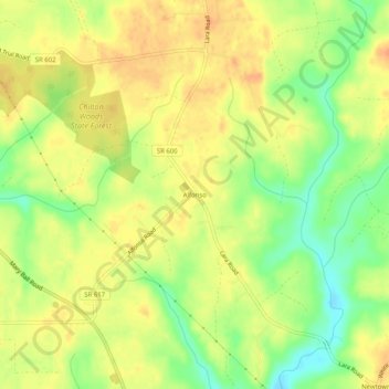
Name: Alfonso topographic map, elevation, terrain.
Location: Alfonso, Lancaster County, Virginia, 22507, United States (37.78875 -76.52801 37.82875 -76.48801)
Average elevation: 27 m
Minimum elevation: 3 m
Maximum elevation: 41 m
Thank you for supporting this site ❤️
Make a donation
Make a donation
Other topographic maps
Click on a map to view its topography, its elevation and its terrain.