
Thank you for supporting this site ❤️
Make a donation
Make a donation
Njara C topographic map
Click on the map to display elevation.
Thank you for supporting this site ❤️
Make a donation
Make a donation
About this map
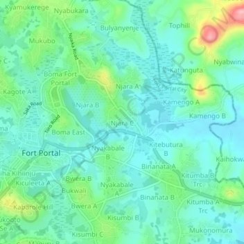
Name: Njara C topographic map, elevation, terrain.
Location: Njara C, Fort Portal City, Western Region, Uganda (0.64123 30.27128 0.68123 30.31128)
Average elevation: 1,517 m
Minimum elevation: 1,481 m
Maximum elevation: 1,633 m
Thank you for supporting this site ❤️
Make a donation
Make a donation