
Berea topographic map
Interactive map
Click on the map to display elevation.
About this map
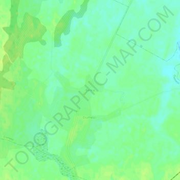
Name: Berea topographic map, elevation, terrain.
Location: Berea, Ciumești, Satu Mare, 447261, Roumanie (47.64985 22.32081 47.68985 22.36081)
Average elevation: 134 m
Minimum elevation: 126 m
Maximum elevation: 140 m
Other topographic maps
Click on a map to view its topography, its elevation and its terrain.
Lacul Mujdeni
Roumanie > Satu Mare > Orașu Nou
Lacul Mujdeni, Orașu Nou, Satu Mare, Roumanie
Average elevation: 185 m