
Sungai Baleh topographic map
Interactive map
Click on the map to display elevation.
About this map
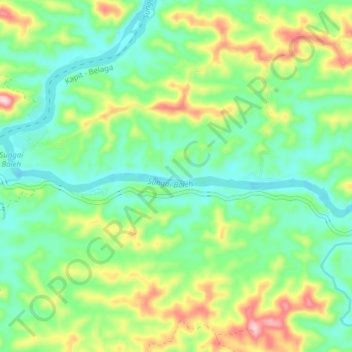
Name: Sungai Baleh topographic map, elevation, terrain.
Location: Sungai Baleh, Kapit, Sarawak, Malaysia (2.00337 113.02428 2.02040 113.10176)
Average elevation: 89 m
Minimum elevation: 1 m
Maximum elevation: 273 m
Other topographic maps
Click on a map to view its topography, its elevation and its terrain.
Kapit Division
Kapit Division, Kapit, Sarawak, 96800, Malaysia
Average elevation: 257 m
Sungai Baleh
Sungai Baleh, Kapit, Sarawak, Malaysia
Average elevation: 158 m