
Thank you for supporting this site ❤️
Make a donation
Make a donation
Kampung Stass topographic map
Click on the map to display elevation.
Thank you for supporting this site ❤️
Make a donation
Make a donation
About this map
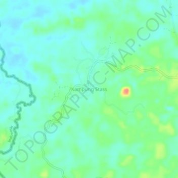
Name: Kampung Stass topographic map, elevation, terrain.
Location: Kampung Stass, Bau, Kuching Division, Sarawak, Malaysia (1.36857 109.96370 1.40857 110.00370)
Average elevation: 37 m
Minimum elevation: 20 m
Maximum elevation: 86 m
Thank you for supporting this site ❤️
Make a donation
Make a donation
Other topographic maps
Click on a map to view its topography, its elevation and its terrain.