
Thank you for supporting this site ❤️
Make a donation
Make a donation
Adia topographic map
Click on the map to display elevation.
Thank you for supporting this site ❤️
Make a donation
Make a donation
About this map
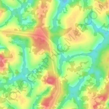
Name: Adia topographic map, elevation, terrain.
Location: Adia, Bélabo, Lom-et-Djérem, East, Cameroon (4.80830 13.34300 4.84830 13.38300)
Average elevation: 682 m
Minimum elevation: 642 m
Maximum elevation: 724 m
Thank you for supporting this site ❤️
Make a donation
Make a donation
Other topographic maps
Click on a map to view its topography, its elevation and its terrain.