
Oakridge topographic map
Interactive map
Click on the map to display elevation.
About this map
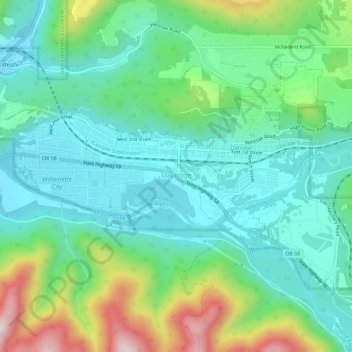
Name: Oakridge topographic map, elevation, terrain.
Location: Oakridge, Lane County, Oregon, États-Unis (43.73131 -122.49623 43.75831 -122.43861)
Average elevation: 465 m
Minimum elevation: 338 m
Maximum elevation: 843 m