
Crabtree topographic map
Interactive map
Click on the map to display elevation.
About this map
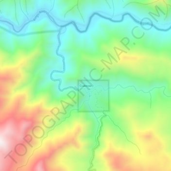
Name: Crabtree topographic map, elevation, terrain.
Location: Crabtree, Fresno County, Californie, États-Unis d'Amérique (36.82356 -119.10984 36.86356 -119.06984)
Average elevation: 605 m
Minimum elevation: 316 m
Maximum elevation: 1,094 m